New · Beta
Auto-Draw Roadway
Search an intersection, or drop a pin on a street map, and ArchFort traces the real roadway into a clean, to-scale drawing: lanes, striping, turn arrows, crosswalks, stop bars, curbs, parking-lot aisles, building outlines and street names.
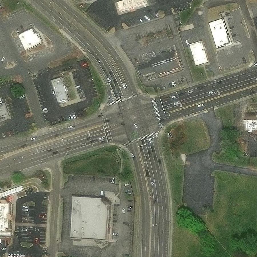
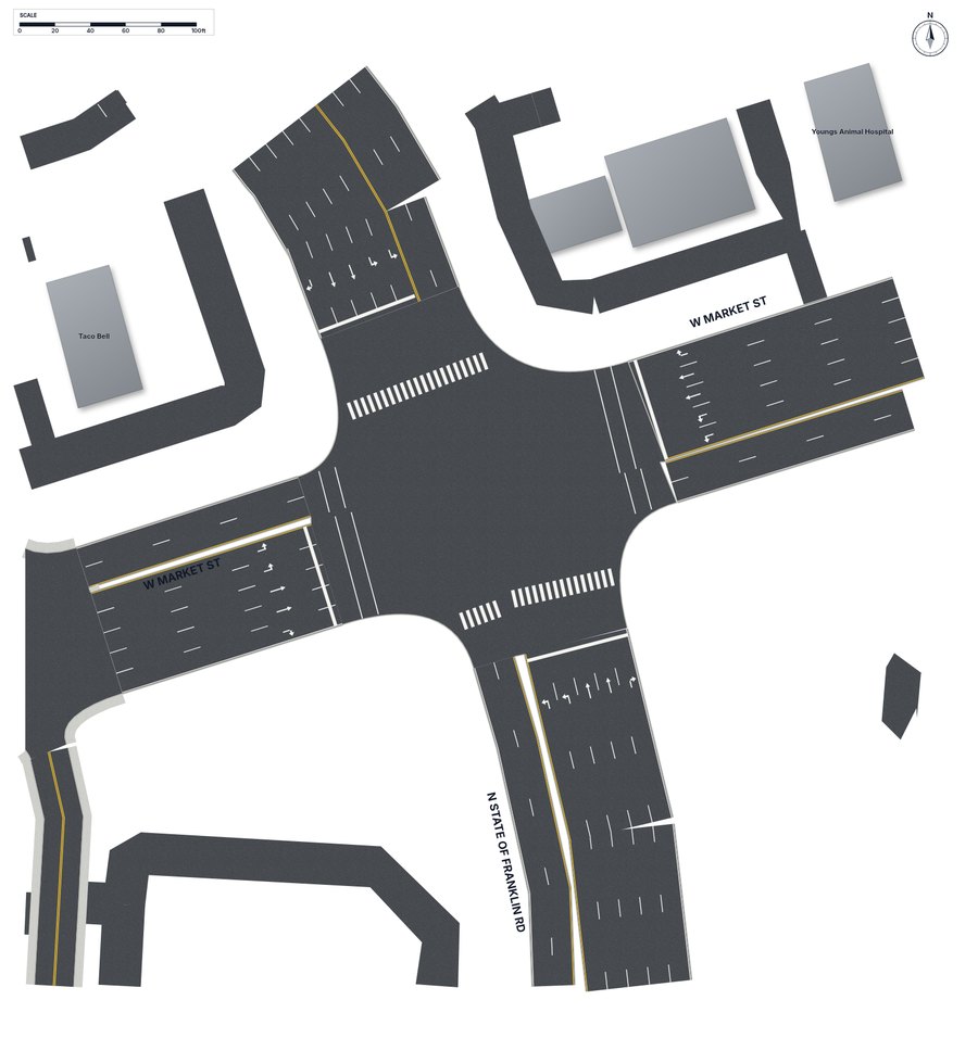
N State of Franklin Rd & W Market St, Johnson City, TN. Real output from ArchFort, not a mock-up.
✓
No trees, shadows or carsRoads are drawn from map data, not photographed, so nothing blocks the pavement markings.
✓
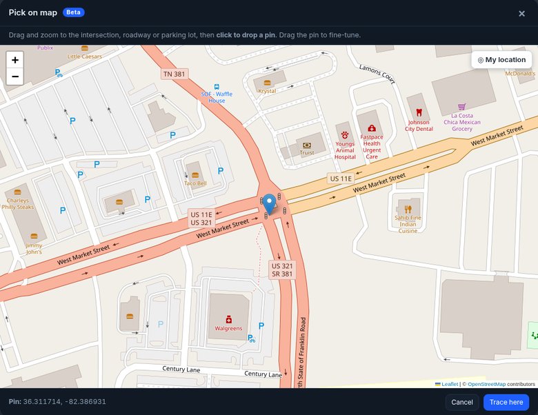
Drawn from map dataLane counts, turn lanes, crosswalks and medians come from OpenStreetMap, placed to scale with a north arrow and scale bar.
✓
Fully editableEvery traced road is an ordinary ArchFort object. Drag it, reshape it, or change the number of lanes in Properties.
✓
Pick on mapNo address? Zoom a street map to the intersection, roadway or parking lot and click to drop a pin. "My location" uses your device GPS.
✓
Satellite still thereAuto-Draw is the default. Switch to Satellite photo or Both any time, or turn the photo on and off under the diagram.
Verify against the scene. Map data can be missing lanes, crosswalks or recent changes, and road widths are estimates. Check every traced roadway against what you saw at the scene and fix anything that doesn't match before you attach the diagram to a report.